Mountain Skills
Mountain navigation basics: map, compass and common mistakes
Navigation in the Irish hills is less about complicated technique and more about doing a few simple things consistently. This is a short introduction to the fundamentals.
Start with the map, not the compass
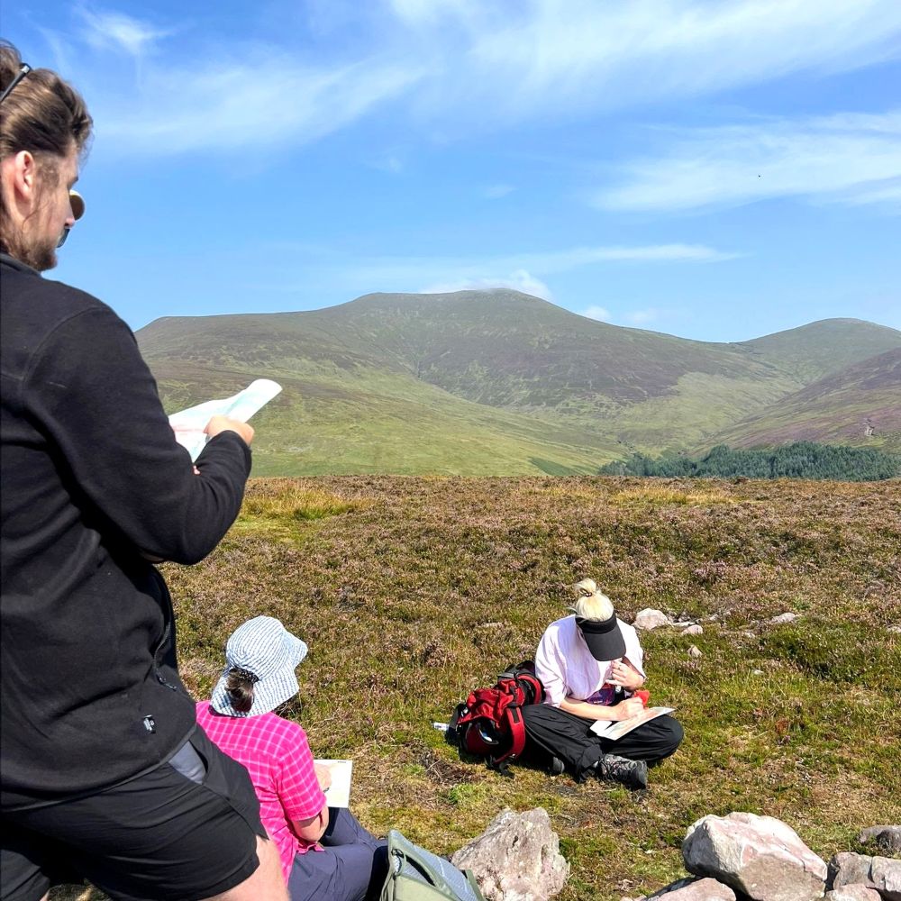
Most navigation is done by reading the ground and matching it to the map. Set the map so it lines up with the landscape around you, and keep your thumb on your current position as you move.
The core skills
- Orientating the map to the ground.
- Recognising contour shapes: spurs, re-entrants, cols and steep ground.
- Taking and walking on a bearing.
- Estimating distance by timing and pacing.
- Choosing handrails and catching features so small errors do not become big ones.
Common mistakes
Trusting the compass over the ground
A bearing tells you a direction, not where you are. If the ground does not match what you expect, stop and re-check your position rather than pressing on.
Losing track of distance
In cloud, people almost always walk further than they think. Timing and pacing are unglamorous but they are what keep you accurate.
Relying on a phone alone
A phone app is a useful backup, but batteries die in the cold. A paper map and compass do not.
Learning it properly
Navigation is a practical skill — it improves quickly once you practise it on real ground with feedback, and barely at all from reading about it.